I have discussed previously how to interpret and use a contour map to assist in a site evaluation to decide where to place an onsite systems. There are times when you will be working on a lot that is not part of a development and the only contour map available are the USGS maps...
This post is part of a series on topography and site mapping:
- Two-Peg Test: How to Determine the Accuracy of Your Leveling Instruments
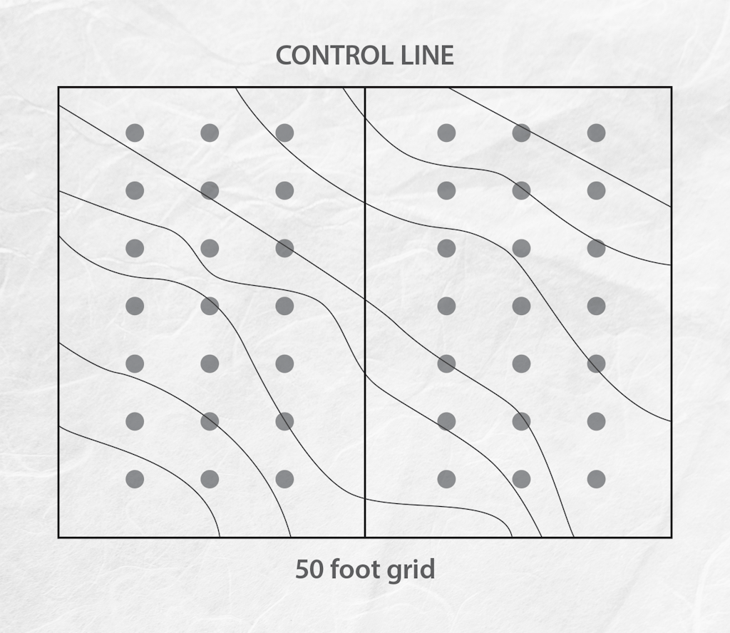
- Surveying Basics: Reading a Contour Map
- Methods to Make a Contour Map
- Selecting a Site for an Onsite Treatment System